Home > Caribbean Travel Guide > Aerial Photographs

British Virgin Islands Aerial Photographs

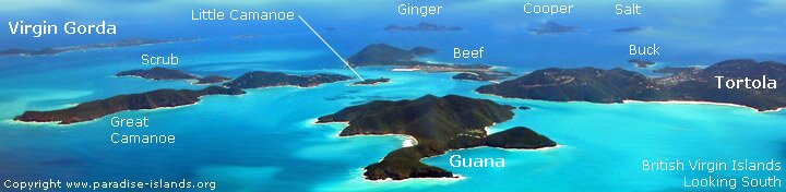
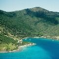
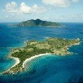
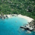
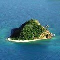
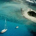
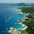
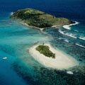
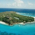
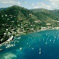
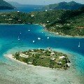
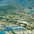
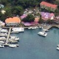
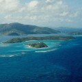
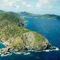
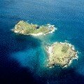
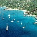
Paradise Islands are pleased to present a large number of aerial photographs of the British Virgin Islands. Islands featured include aerial photos of Tortola, Virgin Gorda, Jost Van Dyke, Necker Island and over 20 of the smaller islands.

We hope you will enjoy browsing our extensive collection of aerial photos of the British Virgin Islands: many of our images are free to copy and use for website illustration (subject to our copyright and image credit conditions).


Little Harbour - Jost Van Dyke

Little Camanoe and Guana, British Virgin Islands

Devil's Bay, Virgin Gorda Pelican Island, British Virgin islands
Sandy Spit, British Virgin Islands The Baths, Virgin Gorda from Helicopter Green Cay and Sandy Spit Aerial photo of Necker Island
Road Town, Tortola Marina Cay, British Virgin islands Spanish Town, Virgin Gorda, BVI Sopers Hole Tortola
Norman Island, BVI Sandy Cay, British Virgin Islands Eustasia / Eustatia, Prickly Pear & Mosquito / Moskito Great Harbour, Jost Van Dyke, BVI

Scrub Islands, British Virgin Islands

Nail Bay Virgin Gorda

Seal Dogs, British Virgin Islands

Brandywine Bay, Tortola, British Virgin islands
Image map of The Baths, Virgin Gorda with names overlaid on the photo      

Holiday, vacation, photograph & Caribbean travel guide to the British Virgin Islands

BVI Map | USVI Map

  Please Link to this page from another website, blog or social networking site? The URL of this page is

http://www.paradise-islands.org/virgin-islands-british-aerial-photographs.htm

All text and photos are Copyright Paradise Islands. All rights reserved. Infringements of our copyrights will be reported