|
Lesser Antilles
Travel Guides
|
|
|
|
| Caribbean Lesser Antilles Map |
|
|
|
The Lesser Antilles are situated at the eastern and southern edge of the Caribbean Sea and are made up of a line of fragmented land masses from the Virgin Islands in the north to Trinidad in the south, plus the Leeward Antilles (previously known as the Netherlands Antilles) which lie just north of Venezuela.
The majority of these islands are volcanic and there are a few are flat coral structures (notably Barbados and the "Dutch ABC" islands).
The West Indies encompasses more than five thousand islands, reefs and cays. This section of the guide concentrates exclusively on travelling in the region of the Caribbean which is divided into three groups of islands, the Leeward and the Windward Islands and the Leeward Antilles.
To the west lies the Greater Antilles, to the north west lies the Bahamas and to the south west lies the Leeward Antilles including the "Dutch ABC" islands of Aruba, Bonaire and Curacao.
The two main island groups lie on the outer edge of the Caribbean Plate and many of the land masses were formed as a result of the crust of the Caribbean Plate riding above the North American Plate....
|
|
This movement is ongoing and demonstrated by the large number of Volcanoes in the region; some of which are still active such as the Montserrat Volcano (Soufriere Hills) and the Sulphur Springs Volcano in St Lucia.
The Windward Islands group are named due to being on the windier (and slightly wetter) side of the Lesser Antilles and consist of Martinique, Trinidad and Tobago, Saint Vincent and the Grenadines, Saint Lucia, Barbados and Grenada.
|
|
The Leeward Islands of the Lesser Antilles are named due to the prevailing Caribbean winds blowing north (in the "Lee" of the wind) and they consist of Anguilla, Antigua and Barbuda, Sint Maarten and Saint Martin, the BVI and the USVI, Montserrat, Dominica, Guadeloupe, Saint Kitts and Nevis, St Barts and Saba.
|
|
|
|
|
|
|
|
|
|
|
|
Barbados
|
|
|
|
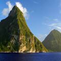
Saint Lucia
|
|
|
|
Grenadines
|
|
|
|
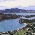
Antigua
|
|
|
|
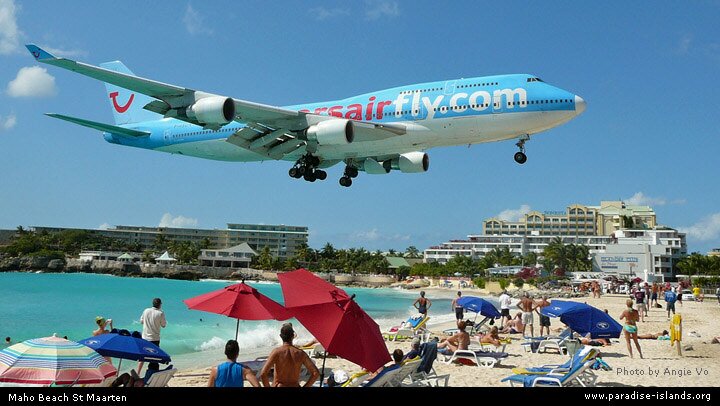
Sint Maarten
|
|

|
|
BVI
|
|

|
|
USVI
|
|
|
|
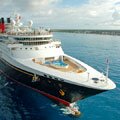
Cruise Port Guide
|
|
|