The United States Commonwealth Territory island of Puerto Rico lies south east of Florida and due south of the islands of The Bahamas. It's the smallest in land area of the four large islands that make up the group of the Greater Antilles located in the western Caribbean (Cuba, The Dominican Republic & Haiti (one shared island) and Jamaica).
This large island forms the eastern boundary of the Greater Antilles and borders the US Virgin Islands to the east and the Leeward Island group. The closest neighbouring island is Saint Thomas in the USVI. |
|
Want to use this map? Paradise Islands grants permission for this image to be copied or downloaded for personal use, school projects, within blog entries or forum chat posts without requesting permission from the copyright owner (please place a courtesy link to this site or this page, thank you, see bottom of page below).
Paradise Islands does not grant permission for this image to be used for general and commercial website illustration.
Copyright Paradise Islands Caribbean Travel Guide. All rights reserved.
Print this Image? Click this link for the JPG file (720 x 375 pixels): Puerto Rico Map (opens new window).
Having trouble printing? This is a large file which may not fit your printer paper. Try saving the image as a JPG file to your 'my pictures' or 'my documents' and then re-size to fit.
Link to JPG file? Image URL: http://www.paradise-islands.org/puerto-rico/images/puerto-rico-map.htm
|
|
|
| The island of Puerto Rico was claimed on behalf of the Spanish in 1493 by Christopher Columbus during the explorer's 2nd voyage to the Caribbean Americas. Christopher Columbus named the island "San Juan Bautista" in honour of St John the Baptist. The territory remained under Spanish ownership for over four hundred years despite many invasion attempts by the English, French and the Dutch during this period. |
|
Interactive Satellite Image
Use the "+" or "-" buttons to zoom in or out
|
|
|
| Travel, holiday, vacation & cruise guide to the Caribbean. All text and images are Copyright Paradise Islands org. All images on this website are obtained with the permission of the owners and come from various sources including tourist boards. |
|
|
|
|
|
|
|
|
|
|
|
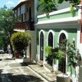
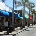
Old San Juan
|
|
|
|
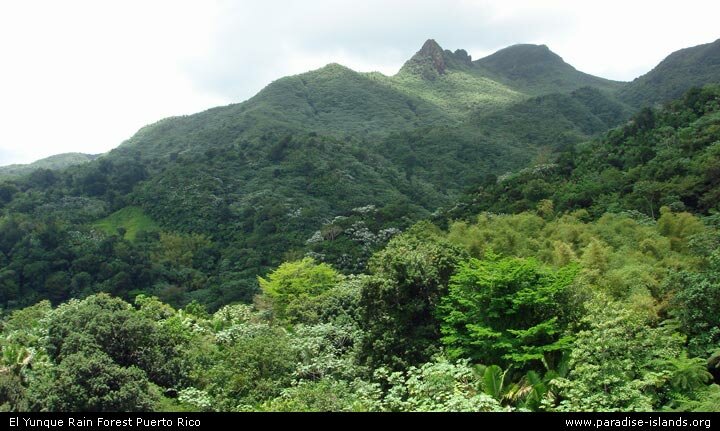
Rain Forest
|
|
Some of our favourite
Caribbean destinations
|
|
|
|
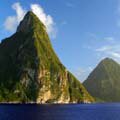
The Pitons
Saint Lucia
|
|
|
|
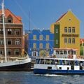
Willemstad
Curacao
|
|
|
|
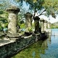
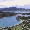
Nelson's Dockyard
Antigua
|
|
|
|
Tobago Cays
Grenadines
|
|
|
|
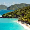
Trunk Bay
St John USVI
|
|
|
|
Philipsburg
Sint Maarten
|
|
|
|
Shirley Heights
Antigua
|
|
|
|
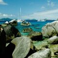
The Baths
Virgin Gorda BVI
|
|
|
|
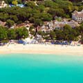
West Coast
Barbados
|
|
|
|
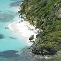
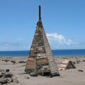
Buried Plymouth
Montserrat
|
|
|
|
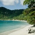
Cane Garden Bay
Tortola BVI
|
|
|
|
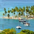
Marigot Bay
St Lucia
|
|
|
