|
|
|
Cruise Port Guide
|
|
|
|
| Anegada Travel Guide - British Virgin Islands |
|
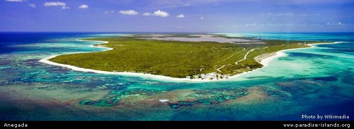
| The island lies 13 miles north of Virgin Gorda and north west of Anguilla. Anegada is the only coral isle in the British Virgin Island chain (the rest of the BVI are all volcanic). The photo below shows an aerial shot of the west end of the island with the Flamingo Pond in the centre. |
|
|
|
|
|
Anegada was named by the Spanish and it's name means "Drowned Land". A popular haunt with pirates in years gone by with over 200 wrecks surrounding the island; and before then there is evidence of aboriginal / Arawak settlements.
|
 |
 |
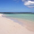
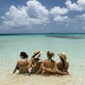
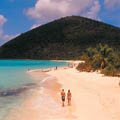
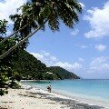
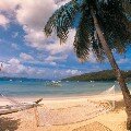
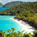
The island has a number of fine white sandy beaches and is popular with tourist and visiting yachts. The isle is protected by the Horseshoe Reef and has a number of beautiful beaches including Flash of Beauty, Bones Bright and Cow Wreck Beach. |
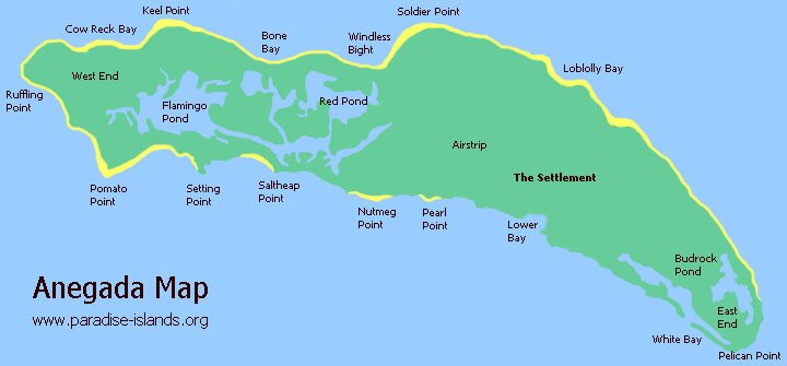
| The interior of the BVI island has many saltwater ponds, mangrove swaps and mud flaps which are home to many exotic birds. There are also natural fresh water springs. The main town is called the Settlement, located in the east end of Anegada island. |
 |
|
Today many of the locals are fishermen and the island population is only a few hundred.
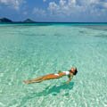
The Caribbean isle is eleven miles long and just three miles wide with the highest point on Anegada only 28 feet above sea level. The island is surrounded by an 18 mile long Horseshoe Reef which is popular with divers and for snorkeling.
|
|
|
|
|
|
|

|
|
|
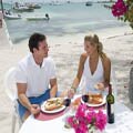
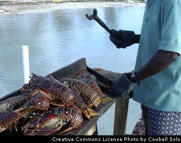
A local fisherman brings fresh lobster from a holding cage in the harbour and prepares the lobster on the dock
|
|
Want to use this Anegada map? Paradise Islands grants permission for this image map to be copied or downloaded for personal use, school projects, within blog entries or forum chat posts without requesting permission from the copyright owner (please place a courtesy link to this site or this page, thank you, see below). Paradise Islands does not grant permission for this to be used for general and commercial website illustration.
Copyright Paradise Islands 2007. All rights reserved.
Print this map? Click this link for the JPG file (720 x 335 pixels): Anegada Map (opens in new window)
Link to the map JPG file? Image URL: http://www.paradise-islands.org/anegada/images/Anegada-Map.jpg
|
|
All text and photos are Copyright Paradise Islands Travel Guide. All rights reserved
|
|
|
|
|
|
|
|
|
|
Quick Facts
Main Town
The Settlement
Main Airport
Auguste George Airstrip
Main Port
(None)
Language
English
Currency
US Dollar
Government
The BVI is a
British Overseas
Territory
Island Size
15 Square Miles
Population
200
|
|
|
|
British Virgin Islands
|
|
|
|
Tortola
|
|
|
|
Virgin Gorda
|
|
|
|
Jost Van Dyke
|
|
|
|
Necker Island
|
|
|
|
US Virgin Islands
|
|
|


